top of page
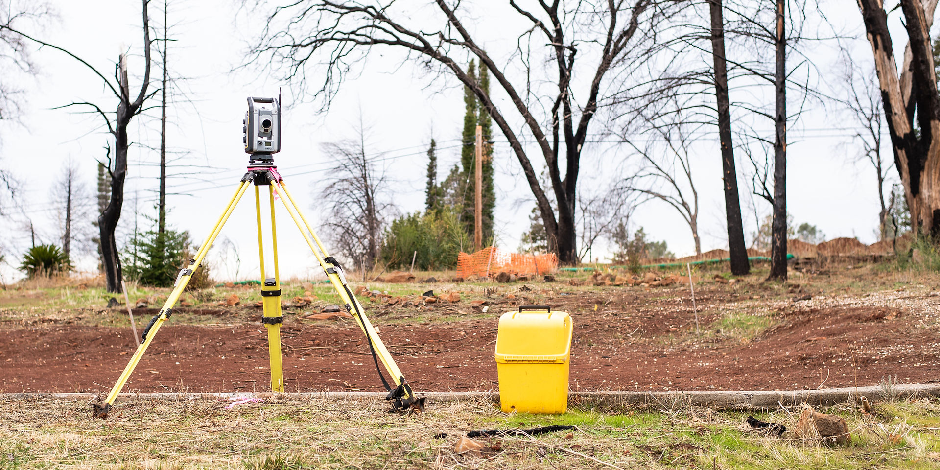

Geodetic base plan
A geodetic base plan, or topo-geodetic survey, is required to prepare a spatial plan or building design documentation. During the course of the survey, the up-to-date aboveground situation (roads, buildings, landscaping etc) and underground utility networks in the surveyed area are surveyed and added to the plan.
A geodetic base plan is needed to determine the existing situation in a specific area prior to the preparation of building design documentation.
The completed topo-geodetic surveys and geodetic base plans are in accordance with regulation No 34 adopted by the Ministry of Economic Affairs and Infrastructure on 14 March 2016.


bottom of page